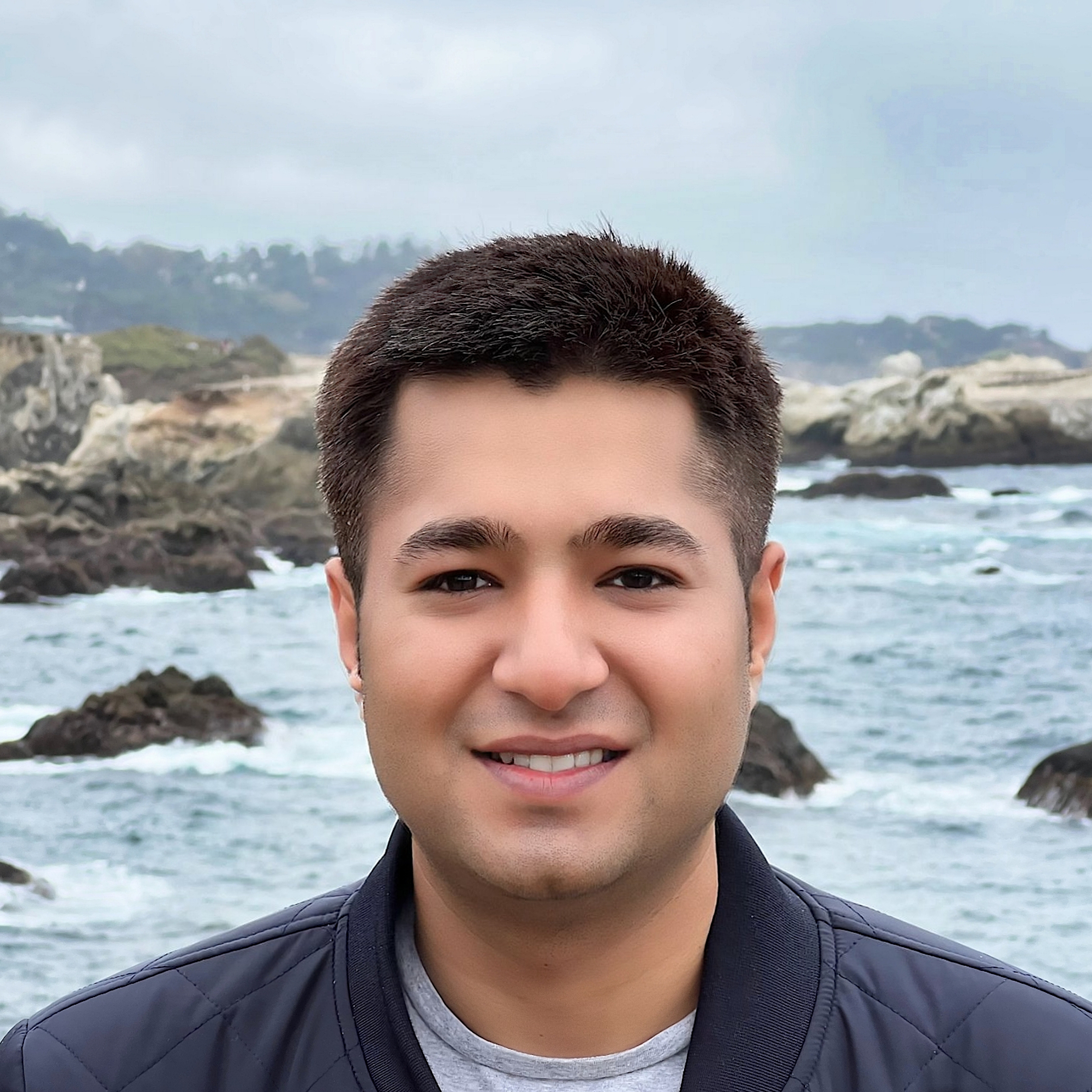
I’m an environmental engineer and postdoctoral scholar in the ECHO Lab at Stanford’s Doerr School of Sustainability, working with Marshall Burke.
At Stanford, I’m extending this work to wildfire emissions and smoke exposure, asking how prescribed burning can be planned to reduce future wildfire impacts while limiting harm to nearby and downwind communities.
I earned my Ph.D. in Environmental Engineering at UC Berkeley in 2026, advised by Joshua Apte and Robert Harley. My dissertation examined urban pollution, from reconstructing concentrations at city-block scales to estimating emissions and evaluating control strategies.
Before Berkeley, I studied particulate matter composition and sources at IIT Delhi. I’m interested in how environmental observations can inform decisions about cities and natural resources, particularly when the benefits and burdens fall unevenly across communities.
Methods
Inverse modeling · Data assimilation · Physics-informed machine learning · Optimization
Research areasAtmospheric science · Urban environments · Environmental policy
Study regions
San Francisco Bay Area · California · New Delhi